Site Progression Tracking
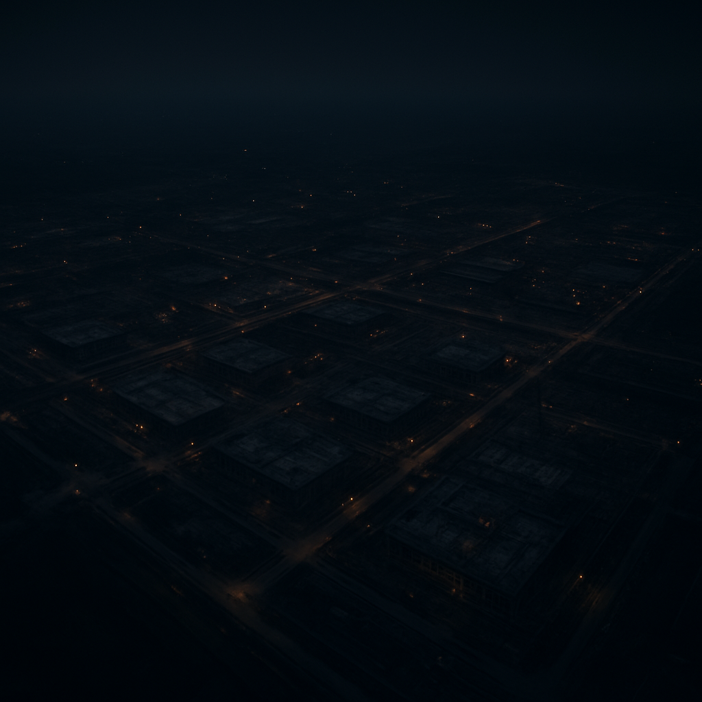
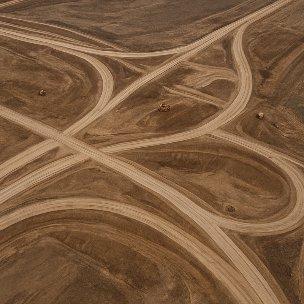
Scheduled high-resolution aerial capture to monitor project milestones, document earthworks, and keep stakeholders aligned with visual timeline updates.
- Weekly / Bi-weekly updates
- Timeline documentation
- Stakeholder visual reports
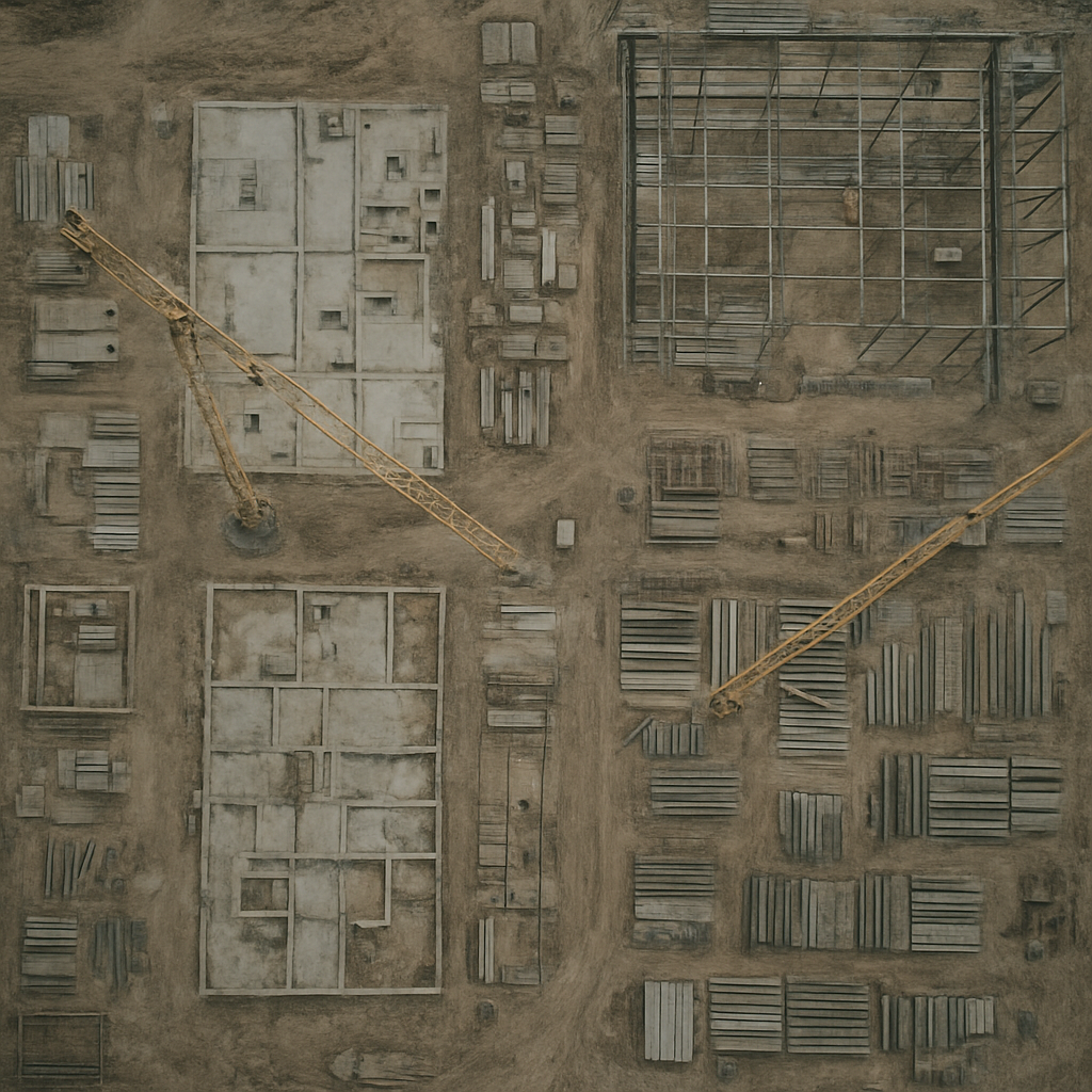
Orthomosaic Mapping
High-resolution, geometrically corrected aerial maps stitched from hundreds of overlapping photos. Provides a true top-down, uniform-scale view of your entire site for accurate baseline measurements.
- True top-down view
- Distortion-free maps
- Uniform scale measurements
High-Res Asset Inspection
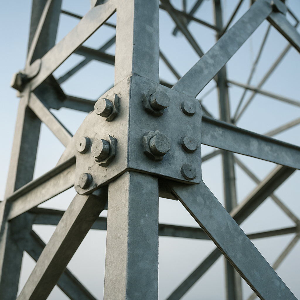
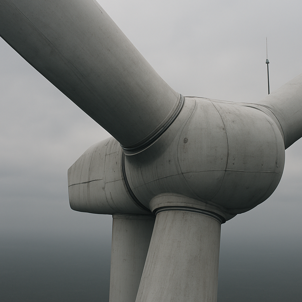
Detailed close-up aerial photography of vertical infrastructure, rooftops, and structural frameworks, reducing risk by eliminating manual climbing.
- High-resolution stills
- Roof & structure views
- Risk-free data capture
Real Estate Photography
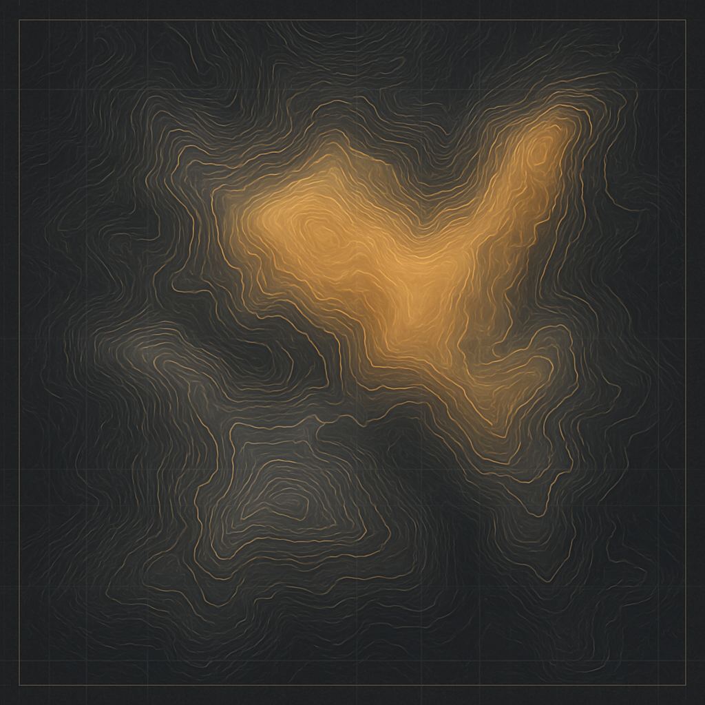
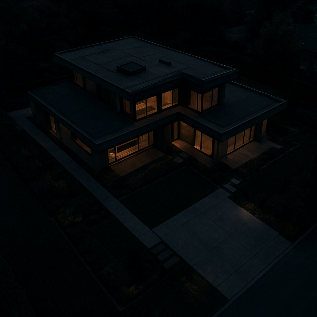
Listing-ready aerial stills and flythroughs for commercial and residential properties — the same capture workflow, packaged for brokers and developers.
- Aerial listing stills
- Interior / exterior flythroughs
- Same-week turnaround